Showing posts with label winter. Show all posts

Monday, March 9, 2020

Daylight Spendings Time

We are 10 days from an early equinox and the Sierra winter is melting away already. The Merced watershed has 38% of average snowpack water content and Yosemite Falls is running with the water that's not supposed to flow until June. Horsetail Fall didn't produce appreciable 'firefall.' The big storms just didn't come this season. The low-elevation canyon west of the park has a decent quantity of flower species and numbers, but the slopes look surprisingly dry instead of their usual green. Redbuds punctuate the verdure now.
Rough-winged swallows, white-throated swifts, and turkey vultures are all flying overhead in El Portal. This foothill region also has singing flickers and orange-crowned warblers; ruby-crowned kinglets are warming up with partial songs.

We are curious to see what COVID-19 does to Yosemite visitation this season, where people over 60 are advised to stay home, large gatherings are to be avoided and many people don't want to travel. My May trip to our sister national parks in China has cancelled, but I hope to go in September. With our park getting at least 25% of its visitors from other countries, we expect to see less of the world in Yosemite. The park will be here nonetheless.

Tuesday, December 24, 2019

Build Me Up, Kumlienia

The first waterfall buttercup of the new season has bloomed in the Merced Canyon across from Ned's Gulch. A couple of the dippers that keep their toes cool in this part of the canyon have started to sing, as well. Solstice has just passed and the greening of spring is underway in the lower reaches of the Sierra. Quite visible (thousands of feet) just above, new snow is accumulating on the healthy base we've acquired in the past month or so. Ski season is young at the same time the first flowers emerge; altitude is everything.

Slash piles are putting up smoke in the Valley now.

Most of these are cleanup from all the ponderosas that have died (overstock, warming, drought, and lastly, beetles) and been felled (hazards to people while they stand). Some of the downed trees and burn piles are from meadow restoration near the Ahwahnee and from vista clearing. I am one who does not lament the shocking mortality of the pines; because of fire suppression they'd grown too dense. The small fraction that is gone from the Valley has opened up fantastic views that no one has seen in generations, a real win. Yosemite Falls is flowing nicely again, though the Merced is running below average volume. Our Christmas Bird Count had good weather and fine birders, and turned up an average number of species and individuals.

We are disappointed that our well-regarded Superintendent has been re-assigned to Denver by NPS HQ, but we are pleased to have the respected Cicely Muldoon arriving to cover in a temporary role that we hope will become permanent.

We've just renewed our sister park arrangement with Huangshan National Park in China for another five years.

I had a good visit there in September and look forward to returning there and to Jiuzhaigou in May.

Thursday, March 21, 2019

Night Equals Day

Yesterday we were treated to the unusual intersection of vernal equinox and a full moon. Here was a nice moment when hours of sunshine were balanced by hours of - wait - moonshine? Let's say moonlight, rather. If you follow your horoscope (and if you don't) this coincidence of full moon and equinox means no more than an interesting astronomical curiosity in your life.

I am guilty of neglecting regular posts for most of the last year, but I'll try again to stay more up to date.

It's been a strong winter in the Sierra, with much more than average snowpack on the ground. It seems like we've had just one week without a storm since the end of January. As in other recent years, the snowline is higher than the historic average although Yosemite Valley got some heavy storms in February that damaged a lot of trees and the buildings beneath them. The Merced is running above average and the waterfalls are all at healthy volumes. Here's hoping for a gradual warming of spring that'll have the falls flowing well through the summer, instead of draining snowfields in a short burst.

The burned area of last summer's Ferguson Fire (shown here with a skier) has shed a bit of sediment (mostly from the South Fork) in storms but nearly all of that fire was of low intensity and is greening up nicely now. For all the rain and runoff we've had, there wasn't much intense rainfall and we haven't had the rockfalls along Hwy. 140 that we worried about. Not many trees were killed by that fire (lots of already dead trees didn't even burn) and the forest is healthier for it. Burned or not, as with much of California, it's looking like a good wildflower season. Kumlienia started in January, and the rocky banks that were cooked black in August are now coated in greenery and flowers. Poppies, popcorn flower, baby blue-eyes and fiddlenecks are already at photogenic quantities in the Merced Canyon, but are still densifying toward their peaks.

I am again leading trips to Yosemite's sister national parks in China. Mountain Travel Sobek has us headed to explore the natural and cultural history of Jiuzhaigou and Huangshan and to meet with park rangers to learn about China's park management. Hiking in both parks is truly astounding and I can't wait to get back there.

Saturday, February 17, 2018

Winter Bypass

We really have skipped past winter here again. Aside from last winter, this has been a season much like those winters of 2011-2016: mild and dry. There's still time for some catch-up precipitation, but it's extremely unlikely to make up for the absence of storms so far. I was up at 7500' along the shoulder of Half Dome with BK the other day. We explored an abandoned trail and stopped by G. Anderson's spring and cabin site; there was barely any snow to speak of.

Above Rancheria Flat (El Portal), numerous flowers are blooming: poppies, red maids, Erodium, woodland star, Nemophila, popcorn flower, fiddlenecks, blue dicks, Stellaria, dead nettle, birds-eye gilia, etc. Some buckeyes are still tight buds, while others are dazzling green with 10cm leaves out. Elderberries are also leafing out. Redbud still seem a ways off.

The Merced River is running below average. It's displaying the diurnal cycle of snowmelt, draining the water that's supposed to flow off in April/May. The aridity of the season means a poor showing for the Horsetail Fall 'firefall' phenomenon but crowds are coming nonetheless; viral imagery from other years seems to matter more than natural reality on the ground. NPS and YC have arranged an impressive structure for managing access to the main viewing areas. Without more than a wet streak at Horsetail, at least the system gets a dry run. (Yes, intentional.)

Summer stars are rising before dawn now: Scorpio and the Triangle. The Falcon Heavy orbital burn was visible for a few minutes over Yosemite last week, an unexpected celestial apparition.

Monday, April 3, 2017

Post-winter Recovery

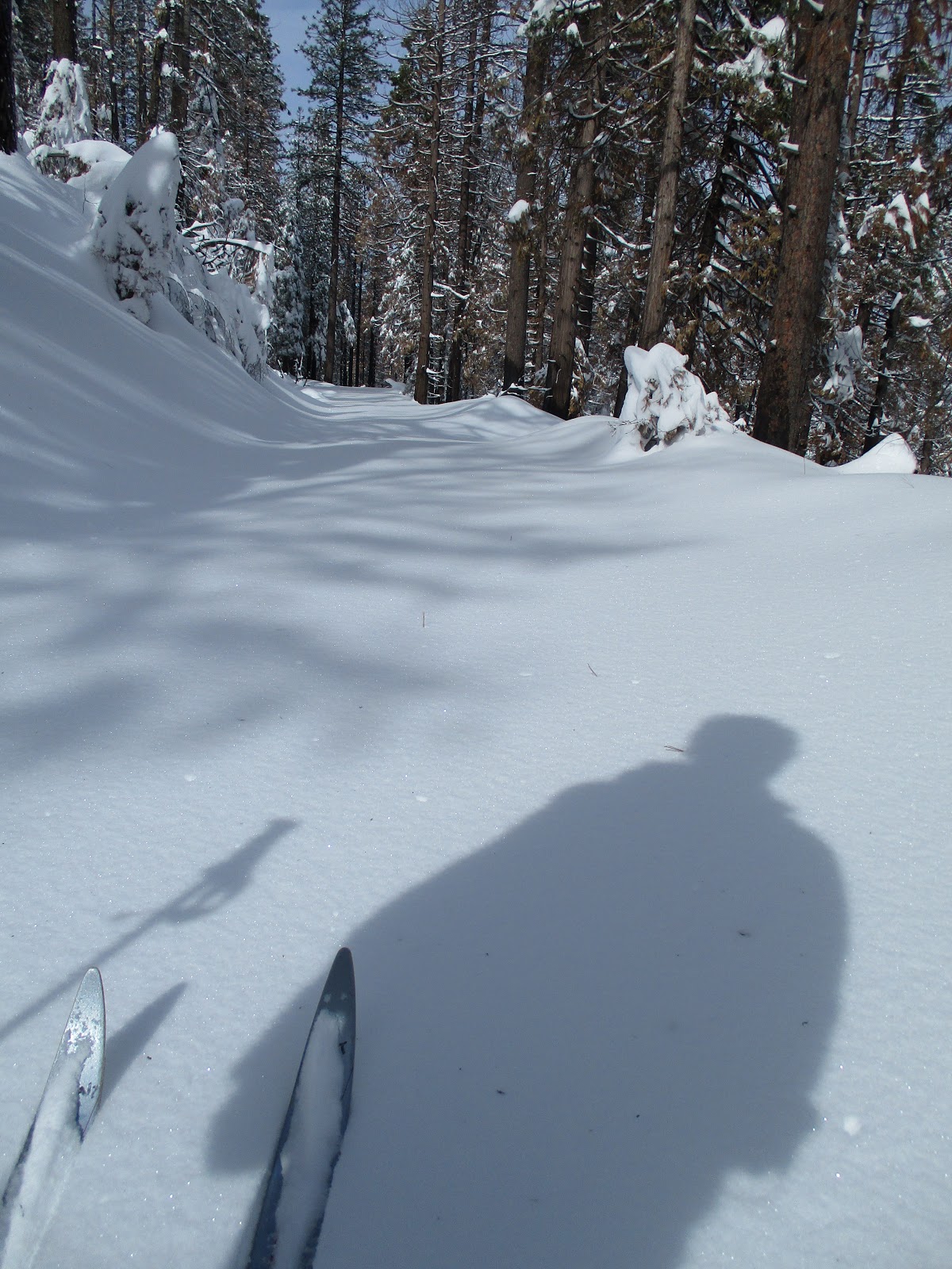
Springtime is making its way uphill in the Sierra with redbud peaking in El Portal now while unfathomable snow persists above 7000 feet. It can hardly be said enough: WHAT a winter we've had here! Storms were repeated with good frequency and lots of Pacific moisture, leaving us with a tremendous snowpack. The snowline was a bit higher than historical averages; not much accumulated in Yosemite Valley (though we had lots of rain runoff), but higher elevations have had fantastical quantities. The central Sierra has 175% of usual water content in the current snowpack. Picture the meadows and forests in the May Lake area buried by 6-7 feet of water (not 6' of snow, but 6' of standing water) - that's the nature of how much mature, dense snow is covering the tens of thousands of acres of Yosemite's upper elevations.

<-Bridalveil in flood.

Storm damage has been considerable in/near the park, with Hwy. 41 having been closed for a month by a washout, and crews working hard to repair slope movement on the Big Oak Flat Road below Crane Flat in hopes of getting it re-opened before Memorial Day. Trails at and above the Yosemite Valley level have a lot of downed trees; trail crew sawyers will be very busy for much of the summer to get those cleared. When you visit the Valley, check out the fragments of bark-less logs below Bridalveil or Yosemite Falls from trees that were uprooted and thrown over the falls this winter. Since December there's been a huge deposit of frazil (wist) ice below Yosemite Falls, and we're now in the month when one is most likely to be able to observe wist ice flowing.

The excitement isn't over. Because of the closure of the Big Oak Flat Road, Hwy. 140 has been handling much more traffic. This past Saturday, visitors were waiting over 2 hours in a 3.5 mile-long line of 800+ cars just to get through the stoplight at the Ferguson rockslide detour west of the park. (Easily avoided by coming in before 9am on weekends.) Because of the road construction in the Valley, the main parking at Yosemite Village will be closed for the next two months, and detours are confusing to both new and veteran visitors. It's going to be a very nice improvement once it's completed, but parking and navigating can be challenges on spring weekends now. Half Dome Village and the new lot by Camp Four are best bets. The road crew is already working to clear Glacier Point Road.

But, wait, there's more. The Merced is running almost 4x average flow today. All that snow in the high country seems likely to bring us some degree of 'high water incident' between now and mid-June (sure to cover some Valley trails at least), depending on how the warming progresses. Yosemite explorers should expect a delayed start to summer, with Tioga Road opening late, trails covered by snow and fallen trees, and creeks difficult to cross.

Saturday, January 7, 2017

High Water 2017

I am quite impressed with NPS preparations for anticipated flooding in the next couple of days; this is much different from the surprises of 1997's flood. Forecasting has been honed and there's institutional memory of the last big one.

As of last evening, all visitors have been evacuated from the Valley. Staff housing in the Half Dome Village area has been evacuated and all other locals are being told to stay put as of tonight. Peak flow is expected late in the day on Sunday. Projections are for about 17,000 cfs at Pohono Bridge, where the Merced exits the Valley. Average river flow for this time of year is about 100 cfs, and because of this week's rain the river is carrying 572 cfs right now. Again, that projection is for the river to increase to 30 times the current flow by tomorrow evening. We had a flood warning in mid-December but the river didn't quite reach 5000 cfs; it needs to get to about 7000 cfs before the water comes up on to a road in the Valley. The river would first gently back up on to pavement at Wosky Pond on Northside Drive.

If we do get to 17,000, this'd make it the 6th biggest recorded volume for the Pohono gauging station. The bigger events were the floods of 1937, 1950, 1955, 1964 and 1997. Five 'big' floods in a century averages to every other decade or so. What some locals parochially call 'The Flood' of twenty years ago was only a little bit bigger than those other four were, and such floods affect far more than just Yosemite. There was no gauging station in 1862, when the Merced surely exceeded its 1997 size in a mega-flood that wrecked the whole state.

All these high water events happen December-February and are due to warm storms, which bring rain to high elevation instead of snow. There's a persistent myth that the 1997 flood was due to rain melting recent snows, but the science says that rain doesn't melt very much snow. The floods happen simply by high snowline causing tens of thousands more acres of watershed to receive rain. Especially in higher terrain with thinner soils and vast expanses of bare granite, that rain just runs off right away and swells the rivers downstream.

I share Muir's enthusiasm for such events; he witnessed and wrote about the flood of December 1871. While I shelter in place, I look forward to seeing the video record collected by the professionals.

Monday, November 28, 2011

Fall or Winter


It's a mild week in Yosemite but most trees are bare and there's morning frost in Yosemite Valley. Tioga Pass is open to cars but Glacier Point Road is closed. A Clark's Nutcracker drifted down from treeline and was heard above the Valley's west end, while aerial plankton of spiders and small insects fills the air in the afternoon sun.
Balloon flies continue to float in quantities in El Portal, where Grindella is still in bloom. Juncoes and mixed winter flocks have displaced the swifts and swallows of summer. Fresh bear tracks were seen in the snow at 7000' on Thanksgiving day.
I was just outside the park with friends yesterday and saw 4 river otters on the Tuolumne River. Park biologist SStock has records of 37 prior sightings of river otters in/near the park. They include observations from throughout Yosemite, including up to 10,000'. Has fish introduction allowed the otters to range higher or stay longer than pre-fish?
This weekend is the Conservancy's woodpeckers field course; we have more kinds of woodpeckers than almost anywhere. Good weather should make a pleasant day for a quest to see as many as we can while learning about this important keystone guild. Our Christmas Bird Count is December 18 and would welcome more participants, whether experienced birders or not. Maybe mild weather will last, though La Nina is expected to be visiting for the winter.

Monday, December 6, 2010

Rockefeller Purchase


In 1930 John D. Rockefeller, Jr. gave $1.7 million to Yosemite (matched by Congress) to purchase thousands of acres of old-growth forest just north of Crane Flat. That forest was due to be harvested by timber companies that owned the land just inside the edge of the national park. For many years the NPS worked with various timber companies to minimize visual and other impacts to Yosemite. Logging impacts on the two small sequoia groves in the area were a concern and both groves were almost traded out of Yosemite to the Forest Service in order to acquire the private timber in-holdings. When Mr. Rockefeller became interested in the issue, a financial solution was suddenly possible.
Today, we can enjoy the benefit of this far-sighted philanthropy by hiking or skiing on the old logging railbed that goes into a section of this parcel. Park at Merced Grove trailhead and you'll find the unmarked "Rockefeller Grove" trailhead across the highway and just to the north. It's a gradual (except for one short hill) trip of about 3 miles, and the route ends in a mature forest of diverse conifers. The big sugar pines are a main attraction but don't expect a pure stand at any point. Along the way, keep your eyes open for an uncommon stand of knobcone pine in much younger forest.
Yesterday a handful of park employees found just enough snow to ski out to the end of the logging railroad. There were recent bear tracks criss-crossing the length of the railbed. Last night's warm storm brought only rain to that 6000' level, so more snow will be needed before that can be skied again.

Friday, April 2, 2010

Yosemite's Curious Frazil Ice


2 April 2010
This is the month when locals look for frazil ice flows in Yosemite Valley. They can occur below any of our waterfalls, but are most often seen on large scale below Lower Yosemite Falls, when deposits can cover acres with what looks like snow, and can persist for months. We've had frazil forming on several recent mornings in Bridalveil and Yosemite Creeks.

It's hard to describe this material and its origin if you haven't seen it for yourself. Look at http://www.nps.gov/yose/photosmultimedia/ynn.htm in May for an NPS video that'll give you an idea. Imagine a creek turned into a slurry of suspended ice particles, or a lava flow made of ice, or spilling a million-gallon slushie drink into the forest.
It forms mostly in the spring when warm temperatures melt snow into high run-off and lots of mist in the waterfalls, then overnight freezing temperatures turn a portion of the spray into ice droplets, which flow along in the full creek. Because we get these conditions regularly, Yosemite is one of the best places to observe this 'waterfall spray ice' being created and then slowly melted away. There's a persistent myth that these deposits represent the sudden collapse of the Upper Yosemite Falls snow cone (a huge mound of ice that accumulates below the falls), but this is emphatically not the case. Frazil flows happen when it's quite cold, beneath falls with no snow cones, and they can happen repeatedly for weeks.

If you're lucky enough to be in the park this month, stroll by the base of the falls for a look.